
Professional GIS && Mapping Tools
Free browser-based tools for measuring, geocoding, GIS files and more — no signup needed.
Explore Tools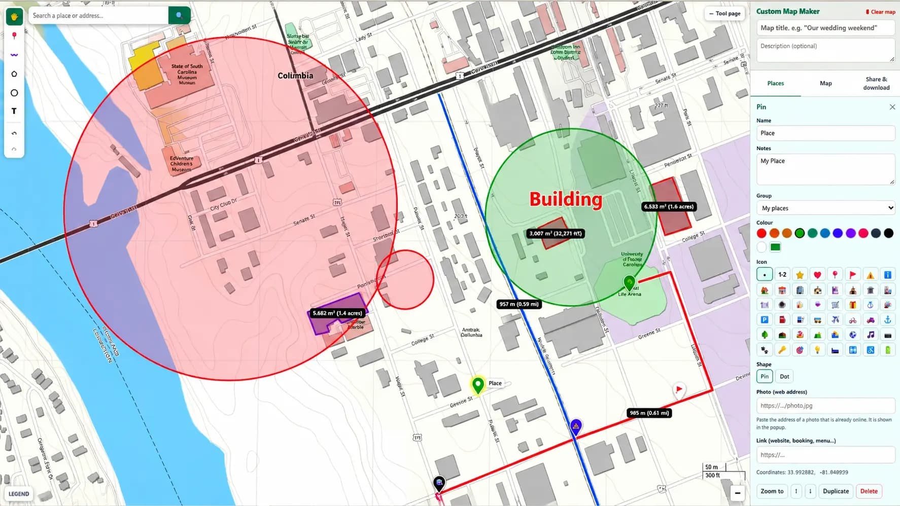
Custom Map Maker
Make your own map in a few minutes: add pins with icons and notes, draw routes and areas, then share it with one link or embed it on your website. Free, no account.
Measurement
Calculate distances, areas, elevations and angles on interactive maps
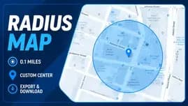
Radius Map
Draw a circle on a map and measure the radius area around any point.
Open tool →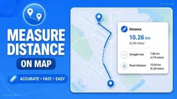
Measure Distance
Calculate straight-line and driving distances between two addresses.
Open tool →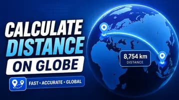
Globe Distance Calculator
Spin a real 3D Earth, drop two pins, and see the great-circle distance drawn as an arc.
Open tool →
Halfway Point Finder
Find the halfway point between two or more places, by straight line or driving time, and get a public place nearby to meet.
Open tool →My Location
Find your current location, postal code, time zone and nearby services
My Location
Get your exact GPS location on a live map and share your coordinates.
Open tool →
Postal Code Finder
Instantly find what ZIP or postal code you are currently in.
Open tool →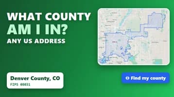
What County Am I In?
Find the US county at your location, an address or a map click, with its FIPS code, population, area and neighboring counties.
Open tool →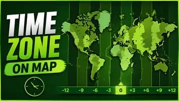
Time Zone Locator
Find your current time zone in GMT/UTC from your live location.
Open tool →Geocoding & Coordinates
Convert between addresses, coordinates and map data formats
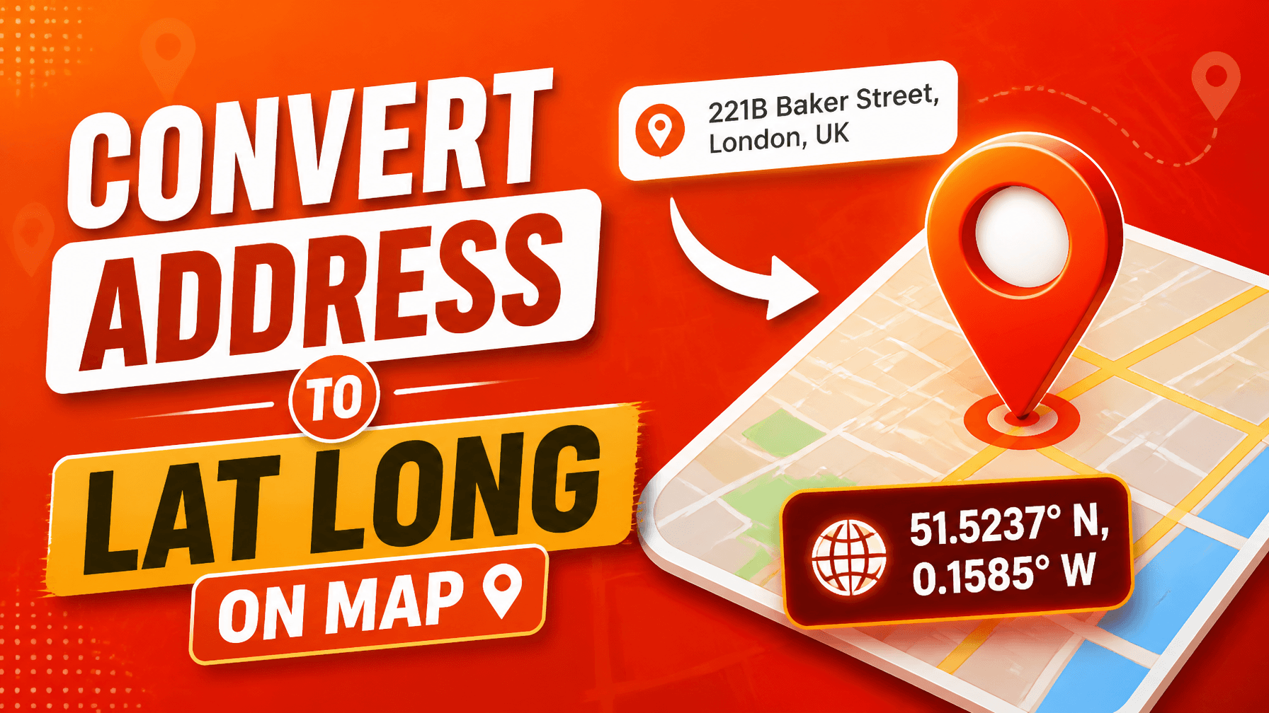
Address to Lat/Lng
Convert any street address into geographic latitude and longitude coordinates.
Open tool →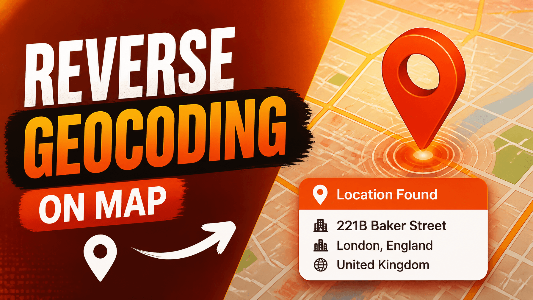
Reverse Geocoding
Convert latitude/longitude coordinates back into a human-readable address.
Open tool →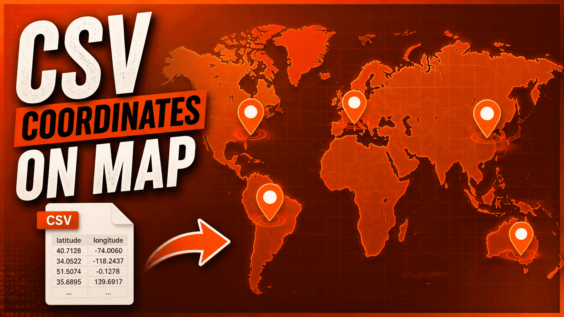
CSV to Map
Upload a CSV spreadsheet with coordinates and plot all points on a map.
Open tool →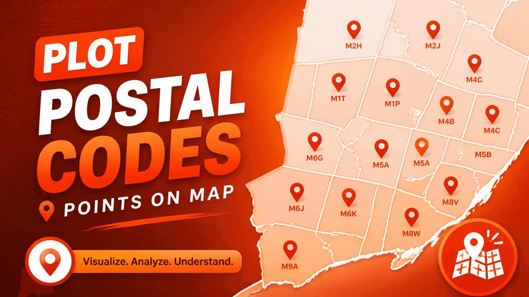
ZIP Code Mapper
Geocode a list of ZIP codes or addresses and display them on a map.
Open tool →GIS & File Tools
View, edit and convert GPX, KML, Shapefile and GeoJSON files
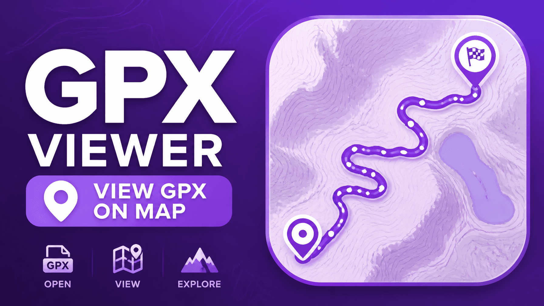
GPX Viewer
View GPX GPS track files on a map with elevation profile charts.
Open tool →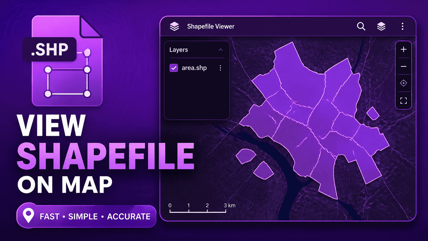
Shapefile Viewer
Open and view ESRI Shapefile (.shp) data directly in your browser.
Open tool →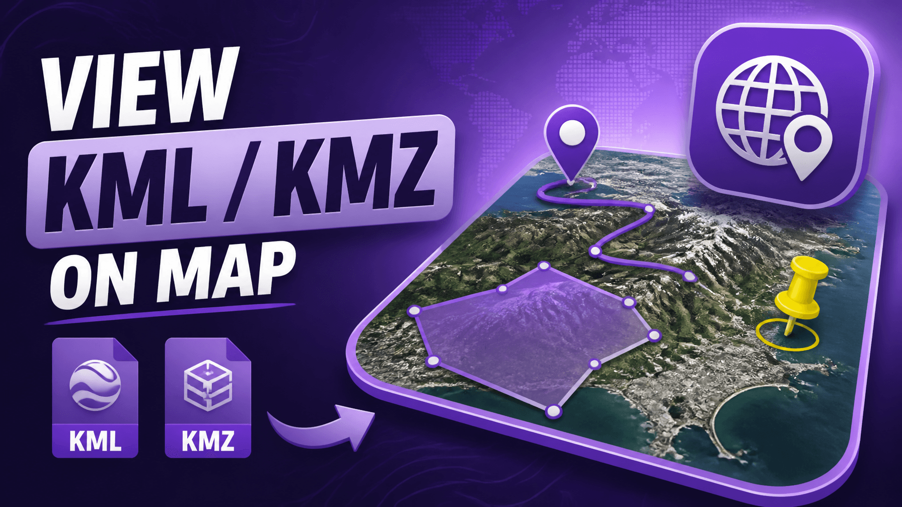
KML/KMZ Viewer
View KML and KMZ map files from Google Earth online for free.
Open tool →
GPX to GeoJSON
Convert GPX track files to GeoJSON format instantly in the browser.
Open tool →Geoprocessing Tools
Buffer, merge, split and analyze vector shapes with spatial geoprocessing tools
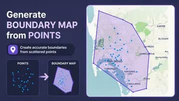
Convex Hull Generator
Mark points on a map or upload a CSV and generate a styled convex hull boundary.
Open tool →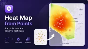
Heat Map Generator
Upload an Excel spreadsheet and generate a smooth IDW-interpolated heat map.
Open tool →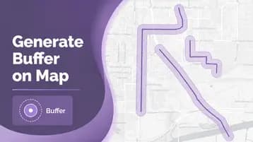
Buffer Zone Generator
Draw or upload points, lines and polygons, then generate buffer zones around them at any distance.
Open tool →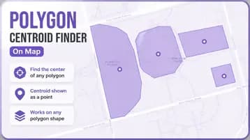
Polygon Centroid Finder
Draw or upload polygons, then find the center point of every polygon in one click.
Open tool →World & Reference Maps
Explore world time zones, country boundaries and reference maps
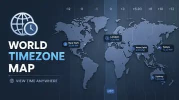
World Time Zone Map
Interactive world map showing all UTC time zone boundaries.
Open tool →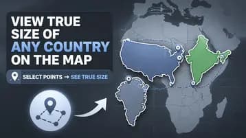
True Size of Countries
Drag countries on a map to compare their true size, corrected for Mercator projection distortion.
Open tool →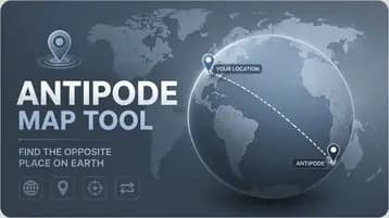
Antipode Map
Click any point on Earth and instantly see its antipode — the exact opposite point on the other side of the globe.
Open tool →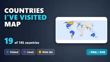
Countries I've Visited Map
Click or search the countries you have been to, count them out of 195, customize the map and download it as an image.
Open tool →Photo & Media
Add GPS coordinates to photos and edit image location metadata

Geotag Photos
Add GPS coordinates to photos and edit EXIF location metadata for free.
Open tool →
Photo Metadata Viewer
View all the EXIF metadata hidden in a photo, including GPS location, then strip it before sharing.
Open tool →
Drone Image Stitcher & Orthomosaic Maker
Make an orthomosaic map from up to 60 overlapping drone photos and download it as a GeoTIFF.
Open tool →
GSD Calculator
Calculate the ground sample distance of drone photos from flight height, or the height for a target GSD, with specs for popular drones.
Open tool →Why these tools exist
Maps for the Rest of Us
Nobody wakes up wanting to master GIS software. But plenty of people wake up wondering: "How much land is in this plot?" "What's the straight-line distance between these two addresses?" "Where can I charge my EV before the battery dies?" These tools bridge the gap between "I have no idea where I am" and "I need to hire a consultant."
Built for Real Life, Not Classrooms
Drop a pin. Draw a circle. Upload a CSV of coordinates from your phone. Watch your hiking route appear with elevation charts that actually make sense. No semester-long course required — just answers to the questions you actually have.
The Small Joys of Clarity
There's something genuinely satisfying about converting scribbled coordinates into a real street address, or watching a spreadsheet of GPS points bloom into a shareable map. The timezone map that finally explains why your colleague is always early or late to calls. The solar angle calculator that might actually save you money.
Made by People Who Remember Frustration
The GPX viewer doesn't demand you learn what "GPX" even stands for — just drag, drop, and go. The area calculator handles your weird, lopsided polygon. The geocoder finishes your address as you type. Even the elevation tool's honest note about its 90-metre resolution feels refreshingly human: "It's approximate, but it's free, and it'll get you close enough."
Your Data, Your Way
Export as GeoJSON. Download as JPG. Take your shapefile and run. No vendor lock-in, no "upgrade to Pro" prompts, no sense that you're renting access to your own information. In an age of subscription fatigue and platform dependency, that kind of generosity stands out.
All 75 tools run entirely in your browser — no account, no installation, no cost. Pick the one that answers your question today.